Charleston's trails with distances: the 8-mile West Ashley Greenway, the 2.7-mile Ravenel Bridge path, the Battery walk and where to start and park.
Last checked Oct. 16, 2026. Distances and trailheads come from the City of Charleston’s West Ashley Greenway page and facility pages, and from SCTrails, the state’s trail directory. City Recreation Department: 843-724-7327.
Charleston’s best-known trails are flat and short enough for an afternoon: an eight-mile rail trail across West Ashley, a 2.7-mile path over the Cooper River on the Ravenel Bridge and a 1.2-mile seawall walk around the tip of the peninsula. The city’s greenway plan counts more than 42 miles of off-street walking and biking paths linking parks, schools and neighborhoods. Two big additions, the Lowline and a new bridge over the Ashley River, are under construction.
Who to call
- City Recreation Department: 843-724-7327, 823 Meeting St.
- Trail problems, fallen trees, any city question: Citizen Services Desk, 843-724-7311, or report an issue online
- Charleston County Parks: 843-795-4386
The trails at a glance
| Trail | Distance | Surface | Area |
|---|---|---|---|
| West Ashley Greenway | 8 miles | Paved in parts, mostly packed dirt | West Ashley |
| Wonders’ Way (Ravenel Bridge) | 2.7 miles | Paved, 12 feet wide | Peninsula to Mount Pleasant |
| West Ashley Bikeway | 2.5 miles | Paved | West Ashley |
| Battery walk | 1.2 miles | Sidewalk and seawall | Peninsula |
| James Island County Park | 4 miles paved, 1 mile unpaved | Mixed | James Island |
West Ashley Greenway
The West Ashley Greenway runs on a former railroad bed between Albemarle Road and Main Road, about eight miles through neighborhoods, woods, fields, creeks and marsh. The city leases the corridor and runs it as a linear park. SCTrails says the trail is flat and easy, with an 8-foot paved section and the rest mostly hard-packed dirt, and that the eastern start is behind South Windermere Shopping Center off Folly Road; the far end has a small parking area.
Wonders’ Way on the Ravenel Bridge
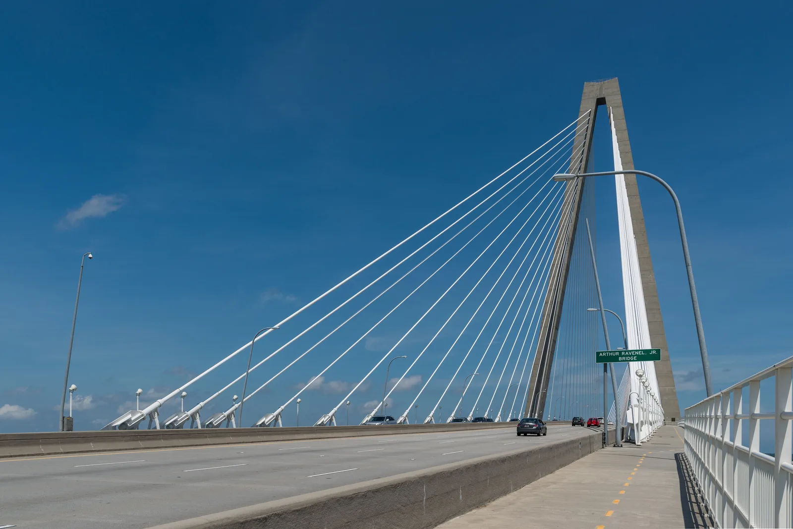
Wonders’ Way is the shared walking and biking path on the Arthur Ravenel Jr. Bridge: 2.7 miles long and 12 feet wide, with views from Folly Beach to the Isle of Palms from the top. It is named for Garrett Wonders, a cyclist killed in a bicycle-vehicle crash while training for the 2004 Olympic Trials. You can start from either end, but SCTrails says parking is easier in Mount Pleasant, about six miles from central Charleston, at the visitor center beside the bridge, which has a fishing pier and restrooms. It is a steady climb to the top; bring water in summer.
West Ashley Bikeway
The West Ashley Bikeway is a paved 2.5-mile path on an old Seaboard Coastline rail line, opened as a park in 1983. The western trailhead is just off Wappoo Road after you turn from U.S. 17; the eastern trailhead is on S.C. 61 shortly before it splits from S.C. 171.
The Battery and the peninsula
The city’s High Battery page puts the walk from Cheney Park, by the Coast Guard station at Tradd Street and Murray Boulevard, to the end of the High Battery at 1.2 miles, looking out toward Fort Sumter. Stairs lead up to the High Battery from East Bay Street. The East Bay Bike Path runs along East Bay Street.
On the west side of the peninsula, the Ashley River Walk on Lockwood Drive has benches along the river next to Brittlebank Park. Hampton Park, 30 Mary Murray Drive, has a fitness trail popular with Citadel students and is one of the few city parks with restrooms and its own parking.
James Island and Daniel Island
- James Island County Park, 871 Riverland Drive: four miles of paved trails and one mile of unpaved trails among live oaks and marsh on the Stono River, with bike rentals from 10 a.m. Open 8 a.m. to sunset through October and 8 a.m. to 5 p.m. in November and December. There is a small per-person entry fee.
- Melton Peter Demetre Park, 640 Wampler Drive: waterfront trails with harbor views, open 6 a.m. to 8 p.m. daily.
- Daniel Island Waterfront Park, 101 River Landing: riverfront trails, a fishing pier and a playground on the Wando River.
Coming: the Lowline and the Ashley River Crossing
- The Lowline. The city broke ground Dec. 15, 2025, on Phase 1A of the Lowline, a linear park on the old rail corridor beneath I-26. The first segment is a 1.6-mile walking and biking path from Mount Pleasant Street to Line Street, with lighting and new public spaces.
- Ashley River Crossing. A walking and biking bridge beside the U.S. 17 bridges will link the West Ashley Greenway, Brittlebank Park and the Ashley River Walk, with new crosswalks at Wappoo Road and at Lockwood Drive and Bee Street. The city’s project page says construction is ongoing, on schedule and within budget.
Tips
- Mind the heat and the tide. Shade is thin on the bridge and the Battery; go early in summer. Low-lying paths flood after heavy rain and king tides; the city posts alerts on its news page.
- Share the path. Bikes, runners and walkers use the same lanes on Wonders’ Way and the greenways. Pass on the left and use a bell.
More: parks and trails, dog-friendly Charleston, getting around and free things to do.
Frequently asked questions
How long is the West Ashley Greenway?
The city describes the West Ashley Greenway as an eight-mile linear park on a former railroad bed between Albemarle Road and Main Road in West Ashley.
Can you walk across the Ravenel Bridge?
Yes. Wonders’ Way is a 12-foot-wide, 2.7-mile walking and biking path on the Arthur Ravenel Jr. Bridge between downtown Charleston and Mount Pleasant. The state trails site says parking is easiest at the Mount Pleasant end.
How long is the walk along the Battery in Charleston?
The city says the walk from Cheney Park, at Tradd Street and Murray Boulevard, to the end of the High Battery is 1.2 miles.
When will the Ashley River bike and pedestrian bridge open?
The city has not given an opening date. Its project page says construction of the Ashley River Crossing is ongoing, on schedule and within budget.
Have your say