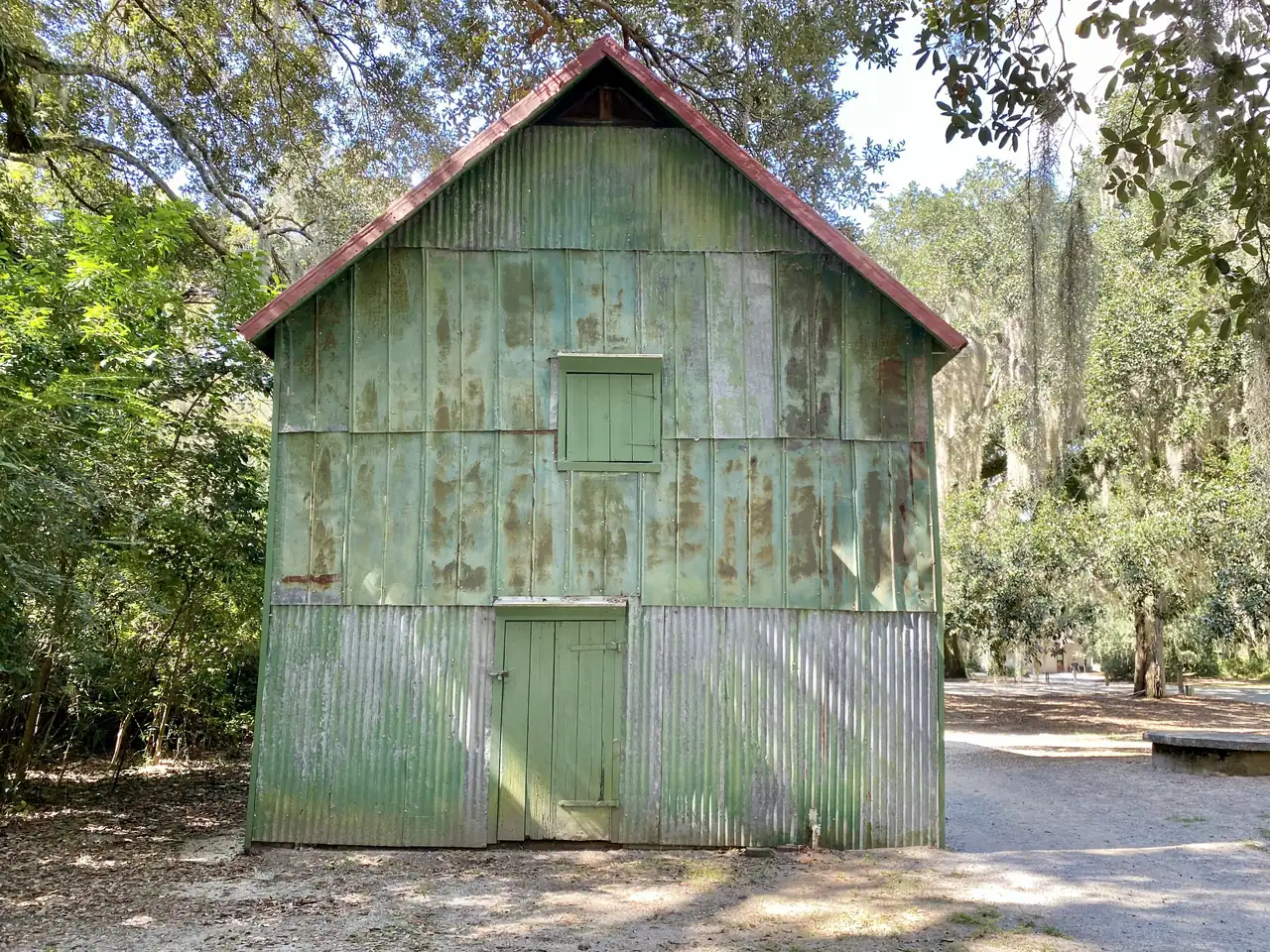
The City of Charleston's part of James Island is ZIP code 29412 and zoned for James Island Charter High. Typical value: $593,604 in September 2026.
Last checked Oct. 16, 2026. Sources: the City of Charleston’s Charleston City Plan and GIS map service, Charleston County School District’s school lookup tool, the South Carolina school report cards, CARTA, OpenStreetMap and Zillow Research.
James Island lies south of the peninsula across the Ashley River and Wappoo Creek, reached by the James Island Connector (S.C. 30) and Folly Road. The city’s City Plan counts 26 square miles in its James Island planning area and says the island “has seen the least amount of population growth and development of all city areas over the past decade,” with about 5% growth expected over 10 years. It also has the city’s highest share of park space, and the plan counts 72% of the area as wetland, park, right of way or other land that cannot be built on.
What this means for you
- Zoned high school: James Island Charter High, rated Excellent on the 2025 state report card, for about 98% of the points we checked. Check an address with the district’s school lookup tool.
- Home value: $593,604 in ZIP code 29412 in September 2026, according to the Zillow Home Value Index.
- Nearest interstate exit: I-26 Exit 221, Meeting Street, about 6.3 miles by road from the James Island Recreation Complex by way of the James Island Connector.
Part of our Charleston neighborhoods guide.
Where it is
Folly Road (S.C. 171), Maybank Highway, Harbor View Road, Fort Johnson Road and Camp Road are the main roads. The City Plan says “four governmental jurisdictions and one public service entity serve James Island.” The City of Charleston’s land is mixed with the Town of James Island and unincorporated Charleston County. Check a parcel on Charleston County’s GIS Parcel Viewer. Of the 2,701 points we checked inside the city limits, 97% were in ZIP code 29412, all in Charleston County.
The city’s neighborhood council map lists about 20 associations here, the largest by area Stiles Point, Creek Point, Bayview Farms, Westchester, Cross Creek, Lynwood/Willow Walk/Oakcrest, Ocean Neighbors and Marlborough. The City Plan uses Riverland Terrace as an example of its “Suburban” land use and Stiles Point as an example of “Suburban Edge.” It points to the “Rethink Folly Road” plan as the model for coordinating along Folly Road.
Schools
We checked every point against Charleston County School District’s attendance boundaries in its school lookup tool (elementary zones for 2026-27, middle and high school zones for 2025-26).
| Level | School | Share of points | 2025 state rating |
|---|---|---|---|
| Elementary | James Island Elementary, 1872 Grimball Road | 55% | Good |
| Elementary | Harbor View Elementary, 1576 Harbor View Road | 23% | Excellent |
| Elementary | Stiles Point Elementary, 883-A Mikell Drive | 20% | Excellent |
| Middle | Camp Road Middle, 1825 Camp Road | 98% | Excellent |
| High | James Island Charter High, 1000 Fort Johnson Road | 98% | Excellent |
In about 13% of the points, in parts of the James Island and Harbor View zones, the district’s map also lists Murray-LaSaine Montessori, 691 Riverland Drive, rated Good, as a choice. A few points at the edges were zoned for other schools. James Island Charter High’s 2025 graduation rate was 94.3%. Ratings are the overall ratings on the state’s 2025 report cards. More in our schools guide.
Home values
The Zillow Home Value Index for ZIP code 29412 was $593,604 in September 2026, up 1.7% from $583,723 in September 2025. Zillow’s figure for the City of Charleston as a whole was $587,511. The index is a modeled typical value for the middle third of homes, not a sale price, and 29412 also covers the Town of James Island and unincorporated land. More in our home prices guide.
Parks and trails
From the city’s parks layer on its GIS map service:
- James Island County Park, 871 Riverland Drive: about 315 acres with a playground, a dog park, fishing and picnic areas, run by Charleston County Parks.
- McLeod Plantation Historic Site, 325 Country Club Drive, also run by Charleston County Parks.
- James Island Recreation Complex, 1088 Quail Drive: ball fields, basketball and a playground.
- Charleston Municipal Golf Course, 2110 Maybank Highway.
- Bayview Soccer Complex, 1045 Fort Johnson Road.
- Thomas Johnson Park, 1443 Secessionville Road, and Stephen Washington Park, 1148 Fort Johnson Road.
- Melton Peter Demetre Park, 646 Wampler Drive: boating and fishing.
- Maybank Tennis Center, 1880 Houghton Drive.
More in our parks and trails guide.
Getting around
- Interstate: none on the island. I-26 Exit 221, Meeting Street, is about 6.3 miles from the James Island Recreation Complex by way of the James Island Connector, and I-526 Exit 11 is about 9.8 miles. Exit numbers are as mapped on OpenStreetMap.
- City Hall, 80 Broad St.: about 6.3 miles.
- Charleston International Airport: about 15.7 miles.
- Bus: CARTA Route 31, Folly Road, runs the length of Folly Road with about 27 stops in the area, and the XP1 express starts at the James Island Walmart park-and-ride, according to CARTA’s schedule data.
Distances are measured on the OpenStreetMap road network from the James Island Recreation Complex; they are distances, not drive times. More in our getting around guide.
Groceries and everyday stores
From OpenStreetMap:
- Supermarkets: Harris Teeter, 675 Folly Road, 1005 Harbor View Road and 1739 Maybank Highway; Publix, 520 Folly Road and 1411 Folly Road; Food Lion, 1291 Folly Road; Walmart Supercenter, 1231 Folly Road.
- Pharmacies: CVS stores and the Walmart pharmacy on Folly Road.
Homeowners and neighborhood associations
Most of the associations on the city’s neighborhood council map here are civic or neighborhood associations. A few are homeowners associations by name: Bayview Farms, Wexford Sound, Lawton Harbor and Fort Lamar. The city’s Neighborhood Services office works with them.
Frequently asked questions
Is James Island part of the City of Charleston?
Partly. The city’s City Plan says four governments and one public service entity serve James Island. The City of Charleston covers much of the island, and the Town of James Island and unincorporated Charleston County cover the rest. Charleston County’s GIS Parcel Viewer shows which one a parcel is in.
What high school is James Island zoned for?
James Island Charter High School, 1000 Fort Johnson Road. About 98% of the points we checked in the city’s part of the island were zoned for it in Charleston County School District’s attendance boundaries. It was rated Excellent on its 2025 state report card, with a 94.3% graduation rate.
What is the typical home value on James Island?
The Zillow Home Value Index for ZIP code 29412, which covers James Island, was $593,604 in September 2026, up 1.7% from a year earlier.
What elementary school serves James Island?
It depends on the street. In the district’s 2026-27 zones, the points we checked were zoned for James Island Elementary, Harbor View Elementary or Stiles Point Elementary, with Murray-LaSaine Montessori offered as an option in parts of the James Island and Harbor View zones.
Have your say