Daniel Island is in Berkeley County and ZIP code 29492, zoned for Daniel Island School and Philip Simmons High. Typical value $981,837, Sept. 2026.
Last checked Oct. 16, 2026. Sources: the City of Charleston’s Charleston City Plan and GIS map service, Berkeley County’s school attendance zones, the South Carolina school report cards, CARTA, OpenStreetMap and Zillow Research.
Daniel Island sits between the Cooper and Wando rivers, north of the peninsula, with I-526 crossing it. The city’s City Plan says it was annexed in the 1990s and “was one of the first major planned communities,” with “a town center, a range of residential densities, schools, parks and job centers,” and that it is “mostly built-out.” The plan names the Daniel Island Town Center as one of the city’s “City Centers,” alongside downtown’s central business district.
What this means for you
- Zoned schools: Daniel Island School (K-8) and Philip Simmons High, both rated Excellent on the 2025 state report card. Daniel Island is in Berkeley County School District, not Charleston County’s.
- Home value: $981,837 in ZIP code 29492 in September 2026, according to the Zillow Home Value Index.
- Nearest interstate exit: I-526 Exit 23, Clements Ferry Road, about 2.2 miles by road from Governors Park; Exit 24, Daniel Island, is on the island.
Part of our Charleston neighborhoods guide.
Where it is
Daniel Island is one of the city’s six planning districts. Island Park Drive and Seven Farms Drive are the main roads, and I-526 has an exit on the island. All of the 1,181 points we checked inside the city limits were in Berkeley County, and 95% were in ZIP code 29492. Because it is in Berkeley County, property on the island is assessed and taxed by Berkeley County; see our property tax guide.
The city’s neighborhood council map shows one association for the whole island, the Daniel Island Neighborhood Association. The Cainhoy part of the city lies to the north, across Beresford Creek; see our Cainhoy page.
Schools
We checked every point against Berkeley County School District’s 2026-27 attendance zones, published by the county’s GIS department.
| Level | School | Share of points | 2025 state rating |
|---|---|---|---|
| K-8 | Daniel Island School | 92% | Excellent (elementary and middle) |
| High | Philip Simmons High | 93% | Excellent |
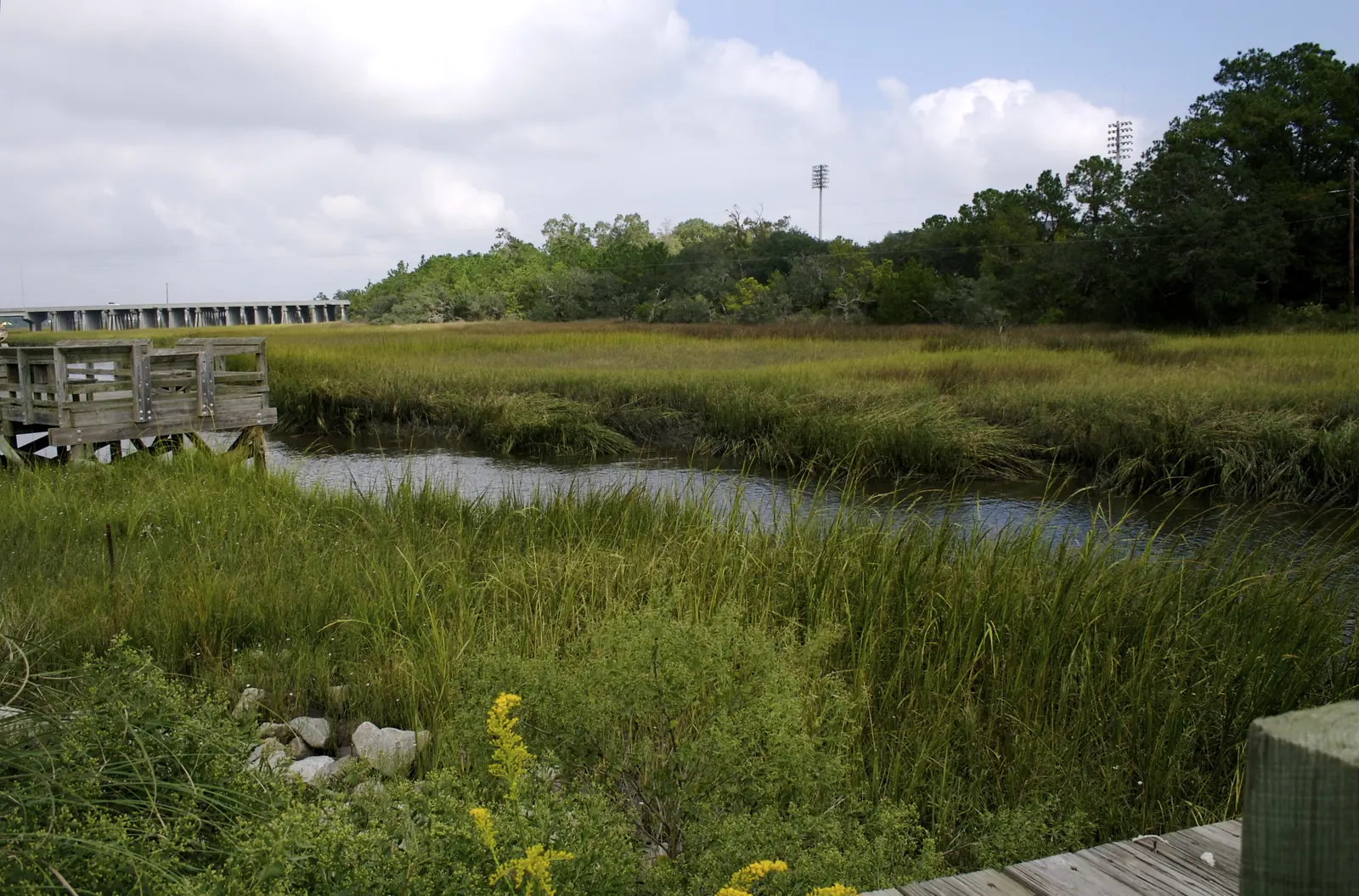
The remaining points were in the rivers and marsh at the island’s edges. Philip Simmons High, on the Cainhoy side, had a 91.4% graduation rate in 2025. Ratings are the overall ratings on the state’s 2025 report cards. Check an address with Berkeley County School District; more in our schools guide.
Home values
The Zillow Home Value Index for ZIP code 29492 was $981,837 in September 2026, up 1.7% from $965,832 in September 2025. The ZIP code also covers Cainhoy. Zillow’s figure for the City of Charleston as a whole was $587,511. The index is a modeled typical value for the middle third of homes, not a sale price. More in our home prices guide.
Parks and trails
From the city’s parks layer on its GIS map service:
- Governors Park, 165 Fairbanks Drive: about 39 acres with ball fields, soccer, a playground and a dog park.
- Freedom Park, 985 Barfield St.: baseball, basketball, soccer, tennis, a playground, a dog park and picnic areas.
- Etiwan Park, 453 Seven Farms Drive: basketball and a playground.
- Fallen Oak Park, 509 Island Park Drive.
- LTP Tennis Center, 161 Seven Farms Drive.
The city also runs the Daniel Island Recreation Center. More in our parks and trails guide.
Getting around
- Interstate: I-526 Exit 23, Clements Ferry Road, about 2.2 miles from Governors Park, and Exit 24, Daniel Island, about 3.9 miles. Exit numbers are as mapped on OpenStreetMap.
- City Hall, 80 Broad St.: about 14.6 miles.
- Charleston International Airport: about 10.9 miles.
- Bus: CARTA’s schedule data shows no regular route stopping on the island. See CARTA’s maps and schedules.
Distances are measured on the OpenStreetMap road network from Governors Park; they are distances, not drive times. More in our getting around guide.
Groceries and everyday stores
From OpenStreetMap:
- Supermarket: Publix, Island Park Drive.
- Pharmacy: CVS Pharmacy, 877 Island Park Drive.
Neighborhood association
The Daniel Island Neighborhood Association is the registered association on the city’s neighborhood council map, and the city’s Neighborhood Services office works with it. We found no city or county list of mandatory homeowners associations.
Frequently asked questions
What schools serve Daniel Island?
In Berkeley County School District’s 2026-27 attendance zones, Daniel Island is zoned for Daniel Island School, kindergarten through eighth grade, and Philip Simmons High School. Both were rated Excellent on their 2025 state report cards.
Is Daniel Island in Charleston or Berkeley County?
Both. Daniel Island is inside the City of Charleston but in Berkeley County, so Berkeley County assesses and bills its property taxes and Berkeley County School District runs its schools.
What is the typical home value on Daniel Island?
Zillow does not publish a figure for Daniel Island alone. The Zillow Home Value Index for ZIP code 29492, which also covers Cainhoy, was $981,837 in September 2026, up 1.7% from a year earlier.
How far is Daniel Island from downtown Charleston?
About 14.6 miles by road from Governors Park to City Hall, 80 Broad St., by way of I-526 and I-26. Charleston International Airport is about 10.9 miles away.
Have your say