Outer West Ashley, west of I-526 along Bees Ferry Road, is mostly ZIP code 29414, where the typical home value was $467,761 in September 2026.
Last checked Oct. 16, 2026. Sources: the City of Charleston’s Charleston City Plan, Plan West Ashley and GIS map service, Charleston County School District’s school lookup tool, the South Carolina school report cards, CARTA, OpenStreetMap and Zillow Research.
Outer West Ashley is the newer, western part of West Ashley, beyond I-526. The city’s City Plan says West Ashley’s neighborhoods run from “near-century-old neighborhoods close to the Peninsula to new subdivisions west of I-526,” and that “most new development is occurring near Bees Ferry Road,” with more planned next to the Urban Growth Boundary at the western edge of the city. The plan says that boundary is backed by “a large buffer of future parks, and other conserved lands.” Our inner West Ashley page covers the older part.
What this means for you
- Zoned high school: West Ashley High, rated Excellent on the 2025 state report card, for every point we checked. Check an address with the district’s school lookup tool.
- Home value: $467,761 in ZIP code 29414 in September 2026, according to the Zillow Home Value Index.
- Nearest interstate exit: I-526 Exit 14, Leeds Avenue, about 4.9 miles by road from West Ashley Park, or Exit 11, Paul Cantrell Boulevard and Glenn McConnell Parkway, about 5.1 miles.
Part of our Charleston neighborhoods guide.
Where it is
We drew the line at I-526 and, south of Savannah Highway, straight south from where the interstate ends. The area runs west along Ashley River Road (S.C. 61), Glenn McConnell Parkway, Bees Ferry Road and Savannah Highway (U.S. 17) to the edge of the city. Of the 2,549 points we checked inside the city limits, 92% were in ZIP code 29414 and most of the rest, toward the Stono River, in 29455. All are in Charleston County. City and unincorporated land are mixed along the western edge; check a parcel on Charleston County’s GIS Parcel Viewer.
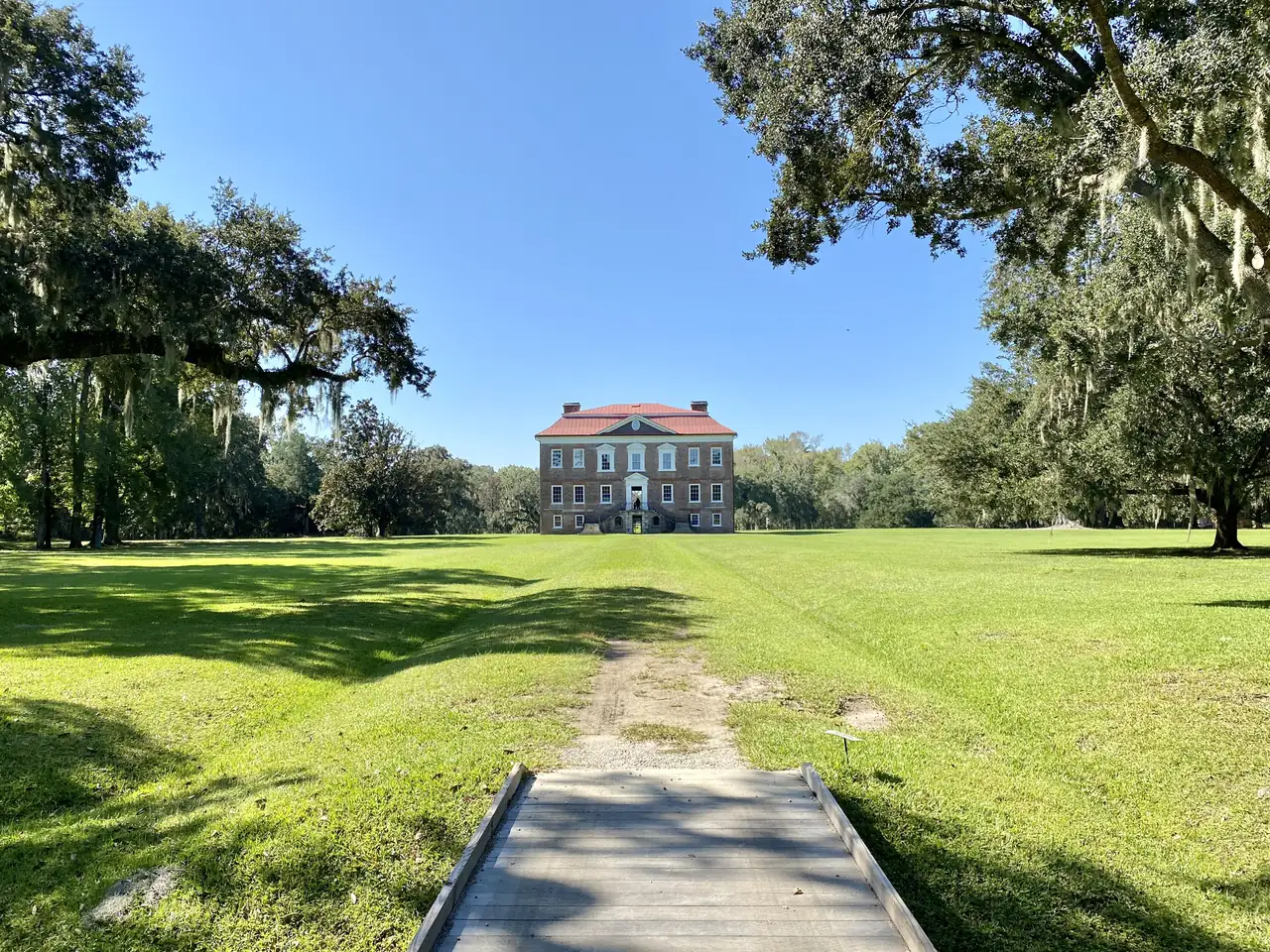
The city’s neighborhood council map lists about 25 associations here, the largest by area Shadowmoss, Village Green, Ashland Plantation, Mount Royall and Harrington Place, Hamilton Grove, Canterbury Woods, Hickory Hill and Moss Creek. The City Plan names Shadowmoss as an example of its “Suburban Edge” land use: mostly homes, at one to four an acre, often next to low-lying land. Drayton Hall is on Ashley River Road at the northern end of the area.
Schools
We checked every point against Charleston County School District’s attendance boundaries in its school lookup tool (elementary zones for 2026-27, middle and high school zones for 2025-26).
| Level | School | Share of points | 2025 state rating |
|---|---|---|---|
| Elementary | Drayton Hall Elementary, 3183 Ashley River Road | 52% | Excellent |
| Elementary | Oakland Elementary, 505A Arlington Drive | 28% | Excellent |
| Elementary | Springfield Elementary, 2741 Clover St. | 20% | Good |
| Middle | C.E. Williams Middle | 100% | Average |
| High | West Ashley High, 4060 W. Wildcat Blvd. | 100% | Excellent |
C.E. Williams has a north campus at 1776 William Kennerty Drive and a south campus for grades 7 and 8 at 3090 Sanders Road, according to the district’s school locations. West Ashley High’s 2025 graduation rate was 91.2%. Ratings are the overall ratings on the state’s 2025 report cards. More in our schools guide.
Home values
The Zillow Home Value Index for ZIP code 29414 was $467,761 in September 2026, up 0.8% from $463,840 in September 2025. For ZIP code 29455, which covers Johns Island, it was $746,511. Zillow’s figure for the City of Charleston as a whole was $587,511. The index is a modeled typical value for the middle third of homes, not a sale price, and both ZIP codes include unincorporated land. More in our home prices guide.
Parks and trails
From the city’s parks layer on its GIS map service:
- West Ashley Park, 3601 Mary Ader Ave.: about 200 acres with ball fields, basketball, a playground, fishing and picnic areas.
- Bees Landing Recreation Complex, 1580 Ashley Gardens Blvd.: ball fields, basketball, tennis, a playground and a dog park.
- Ashley River Road Bike Path, from 2889 Ashley River Road.
- Bridge Pointe Ecological Park, 40 Two Loch Place, with a playground.
The Waring Senior Center is at 2001 Henry Tecklenburg Drive. More in our parks and trails guide.
Getting around
- Interstate: I-526 Exit 14, Leeds Avenue, about 4.9 miles from West Ashley Park; Exit 11, Paul Cantrell Boulevard and Glenn McConnell Parkway, about 5.1 miles. Exit numbers are as mapped on OpenStreetMap.
- City Hall, 80 Broad St.: about 10.2 miles.
- Charleston International Airport: about 9.1 miles.
- Bus: CARTA Route 301, Glenn McConnell Connector, and Route 32, North Bridge, serve Glenn McConnell Parkway and Henry Tecklenburg Drive, and Route 33 runs out Ashley River Road to Bees Ferry Road, according to CARTA’s schedule data.
Distances are measured on the OpenStreetMap road network from West Ashley Park; they are distances, not drive times. More in our getting around guide.
Groceries and everyday stores
From OpenStreetMap:
- Supermarkets: Walmart Supercenter, 3951 West Ashley Circle; Harris Teeter, 3865 West Ashley Circle; Lowes Foods, 3125 Bees Ferry Road; Food Lion, 2144 Savannah Highway and Ashley Town Center Drive.
- Pharmacies: Walmart Pharmacy, 3951 West Ashley Circle; CVS, Savannah Highway.
Homeowners and neighborhood associations
Several of the associations on the city’s neighborhood council map are homeowners or property owners associations by name, among them the Shadowmoss, Village Green, Ashland Plantation, Autumn Chase/Magnolia Lakes, Schieveling Plantation and Westborough homeowners associations and the MacLaura Hall and Croghan Landing property owners associations. Others, such as Hickory Hill, Moss Creek and Sylvan Shores, are neighborhood associations. The city’s Neighborhood Services office works with them.
Frequently asked questions
What high school is Shadowmoss zoned for?
West Ashley High School, 4060 W. Wildcat Blvd. Every point we checked in outer West Ashley was zoned for West Ashley High in Charleston County School District’s attendance boundaries. It was rated Excellent on its 2025 state report card, with a 91.2% graduation rate.
What elementary school serves the Bees Ferry Road area?
It depends on the street. In the district’s 2026-27 zones, about half of the points we checked in outer West Ashley were zoned for Drayton Hall Elementary, 28% for Oakland Elementary and 20% for Springfield Elementary.
What is the typical home value in West Ashley’s 29414 ZIP code?
The Zillow Home Value Index for ZIP code 29414 was $467,761 in September 2026, up 0.8% from a year earlier. Zillow’s figure for the City of Charleston was $587,511.
Where is new development happening in West Ashley?
The city’s City Plan says most new development in West Ashley is near Bees Ferry Road, with some planned but not yet built next to the Urban Growth Boundary at the western edge of the city.
Have your say