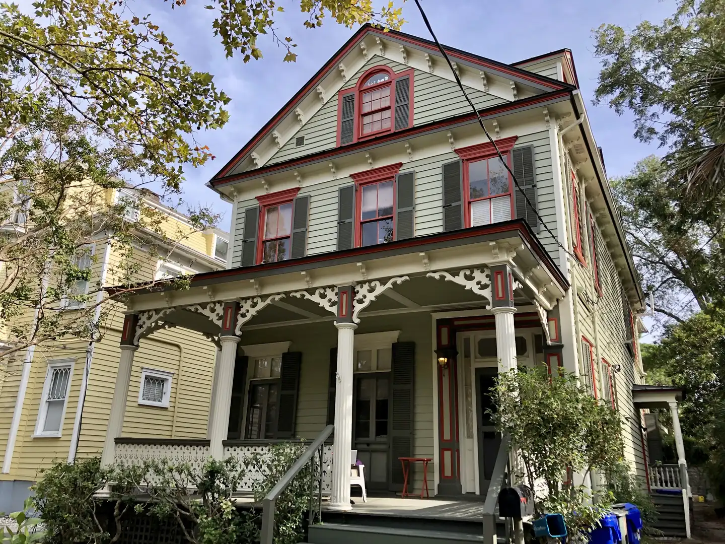
Downtown Charleston, the peninsula below the Crosstown, is zoned for Burke High. ZIP code 29401's typical home value was $1,526,329 in September 2026.
Last checked Oct. 16, 2026. Sources: the City of Charleston’s Charleston City Plan, its GIS map service (planning districts, neighborhood councils, the Old and Historic District, parks), Charleston County School District’s school lookup tool, the South Carolina school report cards, CARTA, OpenStreetMap and Zillow Research.
Downtown is the lower half of the Charleston peninsula, the oldest part of the city. The city’s City Plan treats the whole 8-square-mile peninsula as one planning area and calls it “the urban center of Charleston,” with “the widest diversity of land uses and highest residential densities of anywhere in the city.” This page covers the part south of the Crosstown (U.S. 17, the Septima P. Clark Parkway). For the shops and restaurants, see our King Street guide; this page is about living there.
What this means for you
- Zoned high school: Burke High, rated Below Average on the 2025 state report card, for almost every point we checked. Check an address with the district’s school lookup tool.
- Home value: $1,526,329 in ZIP code 29401 and $855,456 in 29403 in September 2026, according to the Zillow Home Value Index.
- Nearest interstate exit: I-26 Exit 221, Meeting Street, about 1.7 miles by road from Marion Square.
Part of our Charleston neighborhoods guide.
Where it is
Downtown runs from the Battery and White Point Garden at the tip of the peninsula north to the Crosstown, between the Ashley River on the west and the Cooper River on the east. King, Meeting and East Bay streets run north to south; Broad and Calhoun streets cross the peninsula. We checked 414 points inside the city limits in this area: about two thirds were in ZIP code 29401 and the rest, mostly near the Crosstown, in 29403. All of it is in Charleston County.
The city’s neighborhood council map names the associations here. The largest by area are Harleston Village, Charlestowne (the blocks south of Broad Street), Cannonborough/Elliottborough, Radcliffeborough, the Garden District, the East Side, the French Quarter and Ansonborough. Cannonborough/Elliottborough and the East Side reach north across the Crosstown into the upper peninsula.
About 44% of the points we checked were inside the city’s Old and Historic District, where the Board of Architectural Review reviews exterior changes. See our permits and zoning guide before planning work on a house. Many downtown streets are in a residential parking permit district.
Schools
We checked every point against Charleston County School District’s attendance boundaries in its school lookup tool (elementary zones for 2026-27, middle and high school zones for 2025-26).
| Level | School | Share of points | 2025 state rating |
|---|---|---|---|
| Elementary | Memminger Elementary, 20 Beaufain St. | 74% | Average |
| Elementary | Sanders-Clyde Elementary, 805 Morrison Drive | 26% | Good |
| Middle | Simmons-Pinckney Middle, 244 President St. | 99% | Unsatisfactory |
| High | Burke High, 244 President St. | 99% | Below Average |
Memminger serves the southern blocks and Sanders-Clyde the northern ones. Burke’s 2025 graduation rate was 78.6%. Ratings are the overall ratings on the state’s 2025 report cards. Buist Academy, on Calhoun Street, and the county’s magnet and charter schools take students by application; see our schools guide.
Home values
The Zillow Home Value Index for ZIP code 29401 was $1,526,329 in September 2026, up 4.8% from $1,456,794 in September 2025. For ZIP code 29403 it was $855,456, up 5.3%. Zillow’s figure for the City of Charleston as a whole was $587,511. The index is a modeled typical value for the middle third of homes, not a sale price, and 29403 also covers the upper peninsula. More in our home prices guide.
Parks and trails
From the city’s parks layer on its GIS map service:
- Joe Riley Waterfront Park, 170 Concord St.: about 20 acres on the Cooper River, with fishing and picnic areas.
- White Point Garden, 2 Murray Blvd., at the Battery.
- Colonial Lake Park, 41 Rutledge Ave.: a tidal lake with a walking path.
- Alberta Long Lake Park, 55 Halsey Blvd., on the Ashley River side.
- Marion Square, 329 Meeting St.: six acres between King and Meeting streets.
- Hazel Parker Playground, 70 E. Bay St.: tennis, basketball, a playground and a dog area.
- General William Moultrie Playground, 41 Ashley Ave.: ball fields, basketball, tennis and a playground.
- Cannon Park, 123 Rutledge Ave., with a playground.
Details in our parks and trails guide and walking and biking trails guide.
Getting around
- Interstate: I-26 Exit 221, Meeting Street, about 1.7 miles from Marion Square; Exit 220A, Romney Street, about 1.8 miles. Exit numbers are as mapped on OpenStreetMap.
- City Hall, 80 Broad St.: about 0.8 mile.
- Charleston International Airport: about 11.2 miles.
- Bus: CARTA’s free DASH routes, 210 (College of Charleston and Aquarium), 211 (Meeting and King) and 213 (Lockwood and Calhoun), all stop at the Visitor Center. Route 20 runs up King and Meeting streets, and routes 10, 11, 30, 31, 33, 40 and 41 and the express routes start downtown, according to CARTA’s schedule data. Schedules are on CARTA’s maps and schedules page.
Distances are measured on the OpenStreetMap road network from Marion Square; they are distances, not drive times. More in our getting around guide.
Groceries and everyday stores
From OpenStreetMap:
- Supermarket: Harris Teeter, 290 East Bay St.
- Pharmacies: Walgreens, 261 Calhoun St., 380 King St. and 200 Rutledge Ave.; CVS, 59 George St.
- Shopping: King Street, and the Shops at the Charleston Place, 205 Meeting St.
Neighborhood associations
The City of Charleston keeps a map of registered neighborhood associations and councils on its GIS map service, and its Neighborhood Services office works with them. Downtown’s include Harleston Village, Charlestowne, Ansonborough, the French Quarter, Radcliffeborough, Cannonborough/Elliottborough and the Garden District, plus the Robert Mills and Wraggborough Homes residents’ associations and some condominium associations. These are neighborhood associations, not mandatory homeowners associations; we found no city or county list of mandatory HOAs.
Frequently asked questions
What high school is downtown Charleston zoned for?
Almost every point we checked south of the Crosstown was zoned for Burke High School, 244 President St., in Charleston County School District’s attendance boundaries. Burke was rated Below Average on its 2025 state report card, with a 78.6% graduation rate.
What is the typical home value in downtown Charleston?
The Zillow Home Value Index for ZIP code 29401 was $1,526,329 in September 2026, up 4.8% from a year earlier. ZIP code 29403, which covers the northern part of downtown, was $855,456.
What ZIP codes are in downtown Charleston?
The southern part of the peninsula is ZIP code 29401. The blocks closer to the Crosstown, including Cannonborough, Elliottborough and the East Side, are in 29403.
Do I need permission to change a house downtown?
Inside the city’s Old and Historic District, exterior changes go to the Board of Architectural Review. About 44% of the points we checked downtown were inside that district.
Have your say